
C-IMAGE attends U.S. House Earth and Space Science Caucus
(from the Consortium for Ocean Leadership)
What It Was
The House Earth and Space Science Caucus (chaired by Representatives Ryan Costello (PA-6) and Jared Polis (CO-2)), supported by the Earth and Space Science Caucus Alliance, presented the second annual Congressional Earth and Space Science Caucus exhibition on “The Science Of Food Security.”
Why It Matters
Food safety and security are important components of our national security, especially when considering the growing global population. Ensuring we have sustainable and reliable food sources from fisheries, aquaculture, and terrestrial agriculture is essential for global stability. Increased understanding and utilization of Earth and space science helps safeguard our food security, and communicating the value and applicability of this science to decision makers can improve policies that keep Americans and the larger global population healthy, safe, and prosperous.
Key Points
Experts from academia, industry, federal agencies, and nonprofits spent the evening describing to congressional staff and other attendees the applications of scientific and technological advancements to the nation’s food security. The goal of the reception was to convey the value of Earth and space science for everyone, from fishers and farmers to wine growers and consumers.
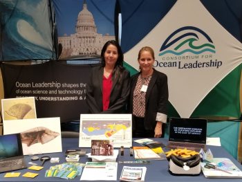
Two COL member institutions exhibited at the event. Scientists from the University of South Florida highlighted their research in the Gulf of Mexico, which focuses on the impacts (e.g., growth, mortality, toxicology, reproduction, distribution) of oil spills on animals, plants, microbes, and sediment. They engaged visitors with slideshows, hands-on materials, and virtual reality video of their research.
Esri, the global market leader in Geographic Information Systems (GIS) and mapping analytics software, presented visual displays of data in a range of maps; explained the ability of their software to combine complex information into easily understood graphics; and discussed the importance of collaboration, free data, and data sharing.
Other exhibits showcased using satellite Earth observations to predict and prevent food production shortages (National Aeronautics and Space Administration’s Earth Observations for Food Security and Agriculture Consortium (EOFSAC)), employing sensors to evaluate land for vineyard suitability and to understand soil conditions for effective use of fungicides and irrigation (Department of Geosciences at Boise State University), protecting agriculture from airborne fungal disease using predictive modeling (The University Corporation for Atmospheric Research (UCAR)), demonstrating the range of research activities supported by the National Science Foundation (NSF), and developing models and methods to optimize sustainable crop growth on Earth and in space (Blue Marble Space Institute of Science).

