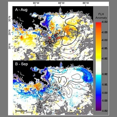
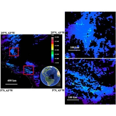
Sargassum coverage in the northeastern Gulf of Mexico during 2010 from Landsat and airborne observations: Implications for the Deepwater Horizon oil spill impact assessment
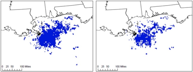
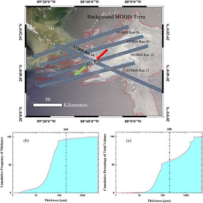
How much Sargassum was in contact with oil from the 2010 Deepwater Horizon spill? Using Landsat and AVIRIS satellite imagery and 2010-2011 NRDA observations, the authors estimated Sargassum coverage in oiled areas ranged from 1296 ± 453 km2 (for areas with…

