COMIT 2.0 COMING SOON!
The Center for Ocean Mapping and Innovative Technologies is thrilled to announce that we were awarded a new, five-year, $8.5 million cooperative agreement by the NOAA Office of Coast Survey. Development of a new website outlining our new research themes, projects, and personnel is underway. Stay tuned!
Center for Ocean Mapping & Innovative Technologies
A NOAA Office of Coast Survey-funded mapping center working to operationalize cutting-edge approaches to seafloor mapping and improving response capacity to coastal hazards.
PROGRAM FOCUS AREAS
Click on the icons below to learn more.
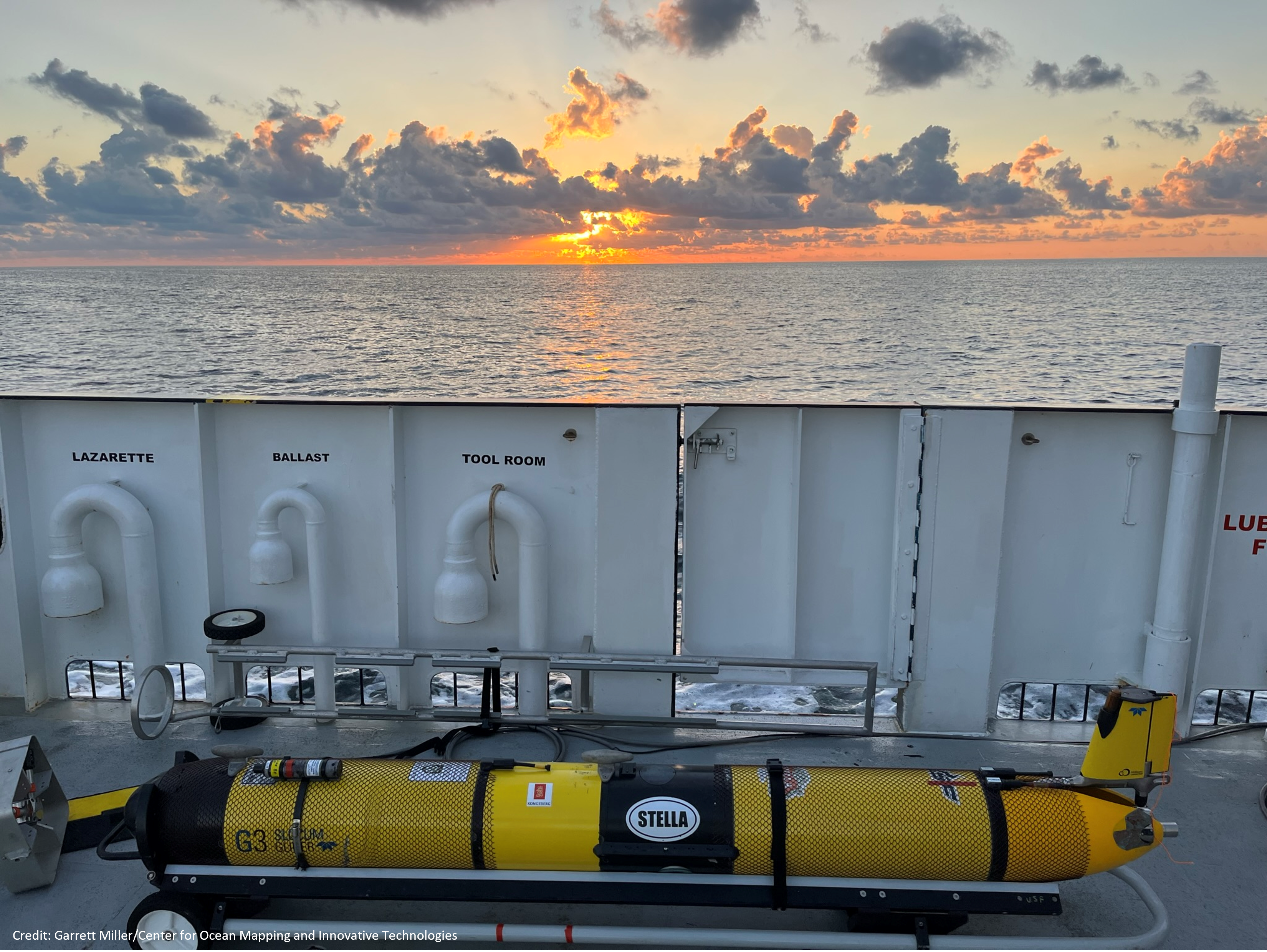
Uncrewed Systems
Improving the efficiency of seafloor mapping efforts via advanced technology and processing algorithms.
Enhancing Geodetic Observations
Developing tools for high precision measurements of the seafloor in coastal zones.
Applied Hydrography
Increasing capacity to rapidly respond to coastal impacts and changes.
Forecasting & Remote Sensing
Resolving complexity of spatial and temporal scales for hydrodynamic modeling in nearshore environments.
Development of a Coastal Network
Capacity building through education and internships, the development of a crowd-sourced bathymetry program, and products and media for a variety of audiences.