Themes and Activities
Enhancing Geodetic Observations
The COMIT project is establishing two calibration stations in Tampa Bay to accurately measure sea level and water depth within 1-2 cm. These stations will provide robust calibration points in COMIT’s area of interest and provide valuable data for various research purposes, including ocean circulation modeling and seafloor motion monitoring.
The team have:
- Conducted extensive shore testing to evaluate the power consumption, telemetry capabilities, and performance of the GNSS antennas and tilt sensors.
- Incorporated a horizontal component to position by adding a second GNSS antenna to provide full orientation information, enhancing the accuracy of position measurements.
- Tested different configurations to address multipath interference, ensuring reliable GNSS data.
- Evaluated multiple manufacturers to select the most durable antennas for long-term deployment.
- Integrated a tilt sensor, bottom pressure mount, and ADCP to collect data for ocean circulation model verification.
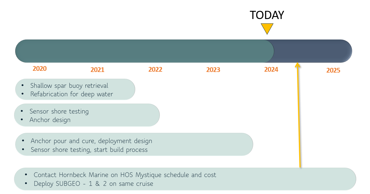
- Successfully poured a 75,000-pound anchor for the ballast, the final piece of preparation for deployment of the spar buoy.
The spar buoy is scheduled for deployment in 2024, pending availability from the offshore service provider.
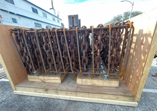
Anchor form fabrication pre-concrete pour
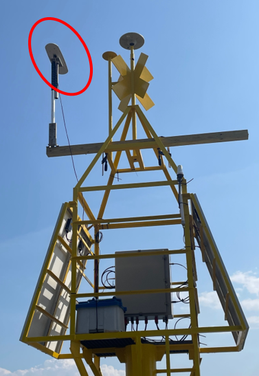
Location of GNSS antenna to complete positioning information
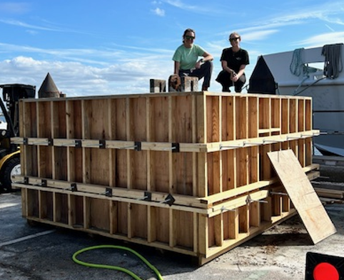
COMIT student interns atop the newly poured buoy anchor build
