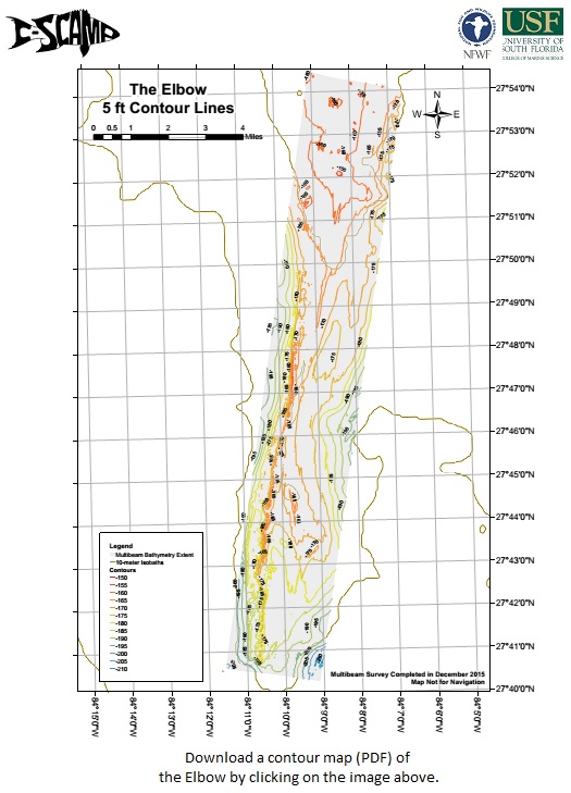
 DISCLAIMER: The Continental Shelf Characterization, Assessment and Mapping Project (C-SCAMP) requests that it be referenced as the originator of this dataset in any future products or research derived from these data. These data are scientific in nature and should not be used for navigation or any purposes relating to safety at sea. As such, the Continental Shelf Characterization, Assessment and Mapping Project (C-SCAMP) will not be held accountable for any injury, loss, or damage resulting from their misuse.
Murawski, S., Lembke C., Gray, J., Brizzolara, J., and Hommeyer, M. The Elbow [map]. Data collected December 2015. 4×4-m grid. “The Elbow Data Products.” Last updated May 2016. Retrieved from: http://www.marine.usf.edu/scamp/data-products/theelbowdata. Funding provided by the National Fish and Wildlife Foundation (NFWF): GEBF Grant #45892.
Below you can download depth information for the Elbow. The file types available are a .KML(GoogleEarth) and GeoTIFF (GIS programs).
To download a GeoTIFF of the Elbow (4×4 m grid), please click here.
For a KML file with depth contours for the Elbow, please click here.
For additional information on these data, please contact us at cscampdata@usf.edu.

