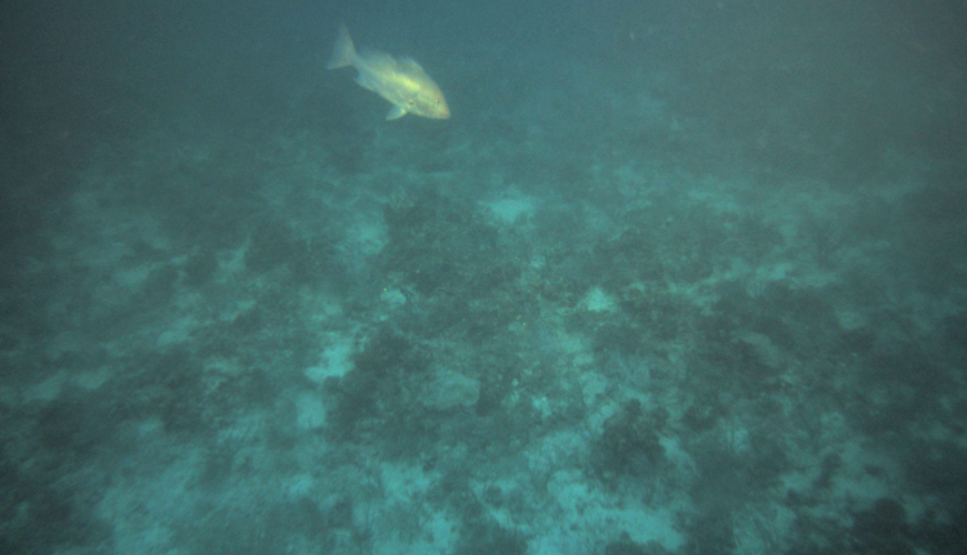
After an area is mapped and we have high resolution multibeam bathymetry and backscatter, a subsequent cruise uses the C-BASS to image the bottom. This provides data on the states of reef fish and sea turtle populations as well as detailed information about habitat.

